This page is dedicated to the origination of the neighborhood. More about East Front is under the “About Us” section of this website.
Sanborn Fire Insurance Maps
The Sanborn Map Company published maps to help fire insurance companies determine the fire risk of homes. The Library of Congress has maps from Wichita from 1894 to 1950. East Front shows up in the 1914 and 1935/1950 maps.
First the 1914 maps…

1914 Sanborn Fire Insurance Map – Overview
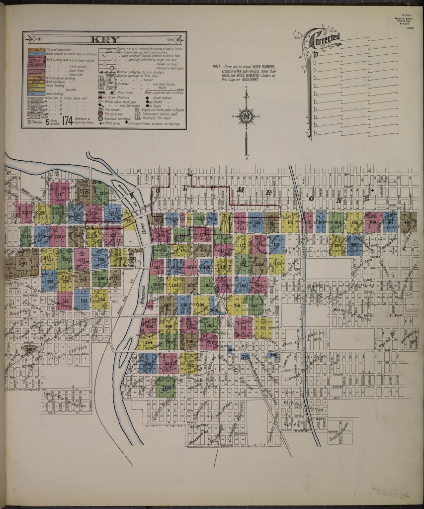
1914 Sanborn Fire Insurance Map – Key
1914 Sanborn Fire Insurance Map – Section 164
1914 Sanborn Fire Insurance Map – Section 165
1914 Sanborn Fire Insurance Map – Section 166
1914 Sanborn Fire Insurance Map – Section 183
1914 Sanborn Fire Insurance Map – Section 184
…and the 1935 / 1950 maps.
1935/1950 Sanborn Fire Insurance Map – Overview
1935/1950 Sanborn Fire Insurance Map – Key
1935/1950 Sanborn Fire Insurance Map – Section 208
1935/1950 Sanborn Fire Insurance Map – Section 209
1935/1950 Sanborn Fire Insurance Map – Section 210
1935/1950 Sanborn Fire Insurance Map – Section 213
1935/1950 Sanborn Fire Insurance Map – Section 214
City Maps
East Front is also known as the 87th Quarter Section of the Wichita Township. The maps linked all come from the Sedgwick County’s Geographic Information Systems (GIS) Plats webpage. To determine which subdivision a certain home comes from, use the GIS Mobile Land Records webpage.
Here is the map of the 87th Quarter Section of the Wichita Township:
WI-87 Wichita Township, 87 Quarter Section

The following are maps of subdivisions within East Front. The title combined the drawer, subdivision and filing date.
a_2-4 Richland 3rd Add Agreement 8.17.1917
a_2-5 Richland 3rd Add Agreement 7.13.1921
a_2-6 Richland 3rd Add Agreement 11.19.1918
a_2-6a Richland 3rd Add Agreement 11.19.1918
a_3-1 Richland 3rd Add Agreement 11.29.1919
a_3-2 Richland 3rd Add Agreement 11.19.1918
a_4-1 Aldrich And Pauls Sub Add 12.18.1886
a_6-2 Allens Sub in Richlands 2nd 2.28.1887
b-2_6-1 Buckners Sub Blk 3 Richland 3.25.1887
c-1_7-20 Caliendo 3rd Add 1.7.1976
c-2_6-31 Zakas 5th Add 7.29.1987
d_6-3 Douglass Sub Richlands 2nd 12.7.1886
e_5-3 Ella Sub in Richland 2nd Add 11.29.1886
e_5-28 Zakas 6th Add 8.19.1988
g-2_2-5 Gordons Sub Lt 10 Richland Add 2.7.1887
g-2_5-3 Green Street Add 8.15.1918
h-1_1-18 400 Lorraine Add 8.24.1978
h-1_3-5 Harris and Hoffelds Sub 10.22.1886
h-1_8-1 Henry & Carlisles Sub 2.23.1887
ijk_1-3 Imboden & Olivers Add 1.29.1886
l_6-6 Lippitt And Aldrichs Sub 10.14.1886
m-2_7-8 Muellers Sub Richlands 2nd 12.1.1886
mc_8-6 McNair And Smiths Add 3.26.1887
no_6-4 Olivers Sub, Richland Add 6.16.1886
pc_120-6a Security Storage Hillside Add 1.4.2001
pc_120-6b Security Storage Hillside Add 1.4.2001
pc_157-3 Cy Wiggins Add 1.23.2004
pc_181-5 T & L Johnson Add 1.19.2006
p-q_4-8 Peckham And Lillys Sub 8.16.1886
r-1_3-6 Richland Add 10.3.1885
r-1_3-7 Richlands 2nd Add 10.31.1885
r-1_3-8 Richland 3rd Add 4.28.1887
r-1_4-1 Richland Add 2nd Sub of Lots 3 & 4 2.22.1887
r-1_5-1 Rittenhouses Sub Suppl 3.30.1887
r-1_5-2 Rittenhouses Sub Richland 2nd 3.30.1887
r-2_1-5 Robertsons Sub Richlands Add 9.18.1886
r-2_4-2 Rogers Sub Richlands 2nd 11.10.1886
r-2_4-4 Rogers & Cunninghams Sub 9.1.1886
r-2_7-11 Kirkpatrick And Sprecker Add 1.12.1971
s-1_3-7 Schumachers Sub 3.29.1887
s-2_2-3 F T Smiths Add 10.3.1885
s-2_2-4 J Giles Smiths Add 9.25.1906
s-2_5-5 Spangenbergers Sub 1.24.1887
s-3_3-1 Stinsons Add 4.14.1909
s-3_7-17 Chel C Meade Add 7.27.1973
w-1_2-4 Walkers Sub Richland Add 3.18.1886
w-2_4-1 Williams Sub Richlands 9.6.1886
Where else you can look if you’re interested in knowing more about your home and the people who lived there?
Registry of Deeds – start here to find the names of who owned your home
Census Records
Do you have any additional suggestions?
